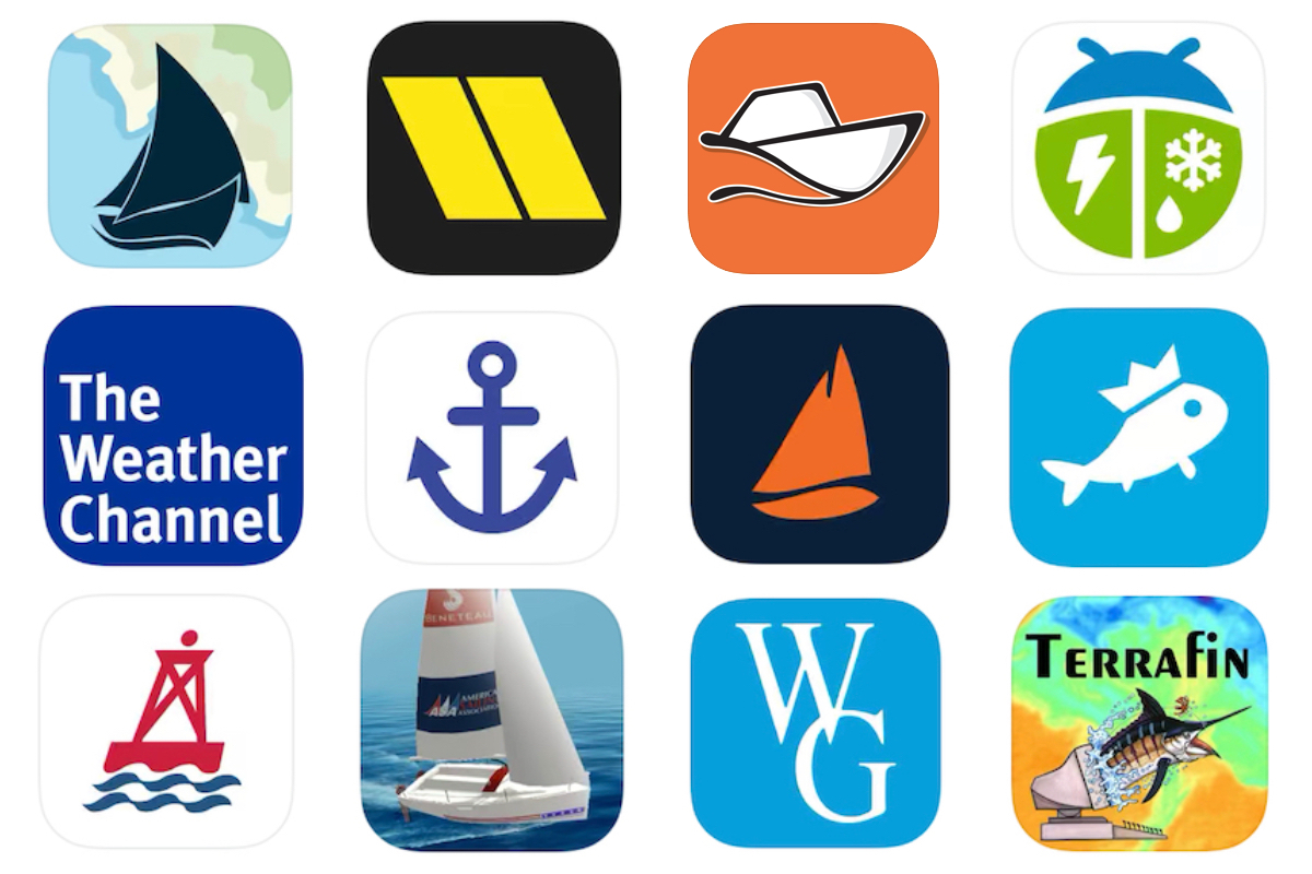
If you have a boat (or you're considering buying one) and a cell phone, you're probably interested in learning all about the best boating apps. And among the many available boating apps, marine navigation apps are some of the most useful.
Top-tier marine navigation apps can turn your phone or tablet into a full-blown chartplotter, which means you have a valuable backup to the electronics at your helm and can carry your tech with you even when aboard small boats with no electrical systems.
Keep reading as we explain the features of each app and why the boating community champions it.
Navigating the Waters: Best Marine Navigation Apps for Every Boater
1. Aqua Map
Aqua Map is a well-known marine navigation app that uses survey data from the U.S. Army Corps of Engineers (USACE) and Waterway Guide. With Aqua Map, you can easily access detailed charts, connect with other boaters, and make informed decisions on the water.
Features include:
- Navigation: Offline charts, weather, tides, route planning, track recording.
- Integration: Connect boat instruments, AIS, and display data on the app.
- Safety: Anchor alarm with remote monitoring and marine weather forecasts.
- Community: Live sharing, chat, and data exchange with other users.
If you're looking for an app to combine route planning, navigation, and connecting with fellow boaters – Aqua Map checks all those boxes.
Price: Free with In-App Purchases and subscriptions available.
2. Argo
Argo is an excellent marine navigation app that allows you to make precise navigation and connect with fellow boaters. It's popular due to its position as a navigational guide made by boaters for boaters and a way to dive deeper into the nautical community.
Features include:
- Navigation: Safe and reliable route planning, custom and manual routes, track recording, and captain's log.
- Local Knowledge: Report and view hazards, local advice, marine life, and reviews.
- Social Platform: Connect and share experiences, real-time location sharing and messaging platform.
- Premium features: Offline charts, extended weather forecasts, customizable depth shading, multiple vessel support, and more.
From charting your course to connecting with others via their modern social platform – Argo offers everything you need for a fantastic day on the water.
Price: Free with In-App Purchases.
3. C-Map
C-Map has a long history of creating digital charts and developing marine navigation apps – and is known to be a fan favorite. When designing this app, the goal was to make it user-friendly, simple, and easy to use. And that's one of the reasons why we love it! Boaters say it takes just 30 seconds to figure out how to accomplish essential navigational tasks like going from point A to point B.
Features Include:
- Charting: Customizable charts, simple route planning, auto-routing, high-resolution bathymetry, and custom depth shading.
- Planning: Comprehensive weather and environmental forecasts.
- Safety & Community: AIS integration for boat tracking.
Price: Free with In-App Purchases and subscriptions available.
4. iNavX
iNavX is one of the best marine navigation apps due to its easy-to-use interface and plethora of resourceful features. But our favorite part? It seamlessly integrates with many other chart providers – which is beyond helpful for boaters.
Features Include:
- Chartplotter: Real-time GPS, chart control, instrument display.
- Navigation: Waypoint creation, route planning, track log, data import/export.
- Versatile Instrumentation: NMEA support, instrument connection, MacENC compatibility.
- Essential Toolkit: Weather, tides, alarms, search, and more.
Sailors and fishermen love iNavX for its reliable charts and ability to do more than simple navigational tasks with hundreds of advanced features.
Price: Free with In-App Purchases and subscriptions available.
5. KnowWake
Think of KnowWake live your Google Maps or Waze for your car – but for your boat. This marine navigation app covers 350+ rivers and lakes inland and coastal waterways – all through real-time user-generated data.
Features include:
- Real-time boat navigation app for coastal and inland waterways.
- User-generated content provides points of interest, hazards, and marine life sightings.
- Wake Zone identifier indicates safe boating speeds based on color-coded zones.
- Community-driven platform for sharing information and experiences.
With KnowWake, users can easily navigate waters and locate various local businesses, including eateries, marinas, fuel stations, boat launches, dive spots, snorkeling spots, and more.
Price: Free.
6. Navionics
Navionics lays claim to being the most popular boating app available, and its navigational features and functions are comprehensive. In fact, it offers many features that some modern chart plotters can't match!
Features Include:
- Charting and Navigation: Accurate nautical charts, high-definition bathymetric maps (Sonarchart™), dock-to-dock auto-routing, and customizable map display.
- Community: Real-time updates from fellow boaters, sync data across multiple devices, and connect the app with compatible plotters.
- Environmental: Detailed weather forecasts and tide predictions.
Boaters and anglers love the app's simplicity and detailed nautical charts covering large portions of the world.
Price: A 15-day trial comes free, then uses a subscription model.
7. OpenCPN
Another of the best marine navigation apps is OpenCPN (Chart-Plotter Navigation), which uses GPS software for people exploring open waterways. Boaters cherish it because it was crafted by sailors who put it to the test during their own adventures, resulting in high-quality chart-plotter software.
Features Include:
- Charts & Weather: Robust worldwide charts and GRIB/GRIB2 weather data input and display.
- Navigation: Route planning with tidal support, weather routing plugin, waypoint navigation, and autopilot output support.
- Safety: AIS target tracking and collision alerts, MOB alarm with tracking, and anchor watch/alarm.
Whether you're looking to use it underway or as a planning tool, Open CPN is consistently a top-runner for the best marine navigation apps.
Price: Free.
8. Ramp Assist
Simplify your boat launching with Ramp Assist, the user-friendly app that makes launching and retrieving boats at ramps a breeze for all experience levels. Focused on safety and convenience, Ramp Assist streamlines the entire process, reducing stress and maximizing efficiency.
Key Features:
- Ramp Locator: Discover and bookmark the best ramps nationwide with satellite views and up-to-date information.
- Ramp Details: Access ratings for cleanliness, difficulty level, and available amenities like parking and restrooms.
- Ramp Traffic: Monitor real-time boat ramp traffic and occupancy levels using satellite data and AI.
- Weather & Tide Monitoring: Get alerts for current weather conditions and tide levels at your chosen ramp.
- Trailering Assist: Receive AI-driven guidance for safely loading your boat, with real-time feedback on distance, angle, and speed.
Pricing: Free with in-app purchases available.
9. Wavve Boating
Wavve Boating came onto the marine navigation app scene back in 2018 and has become a staple for many boaters and fishermen across the U.S. Like many of the others, it also features a community-based aspect to share routes and experiences with friends.
Features Include:
- Charts: Custom depth data, extensive chart library, real-time depth updates, and tide predictions.
- Weather: Multi-day forecasts with wave height and visual warnings for adverse conditions.
- Navigation: Route planning, trip recording, auto-routing with obstacle avoidance.
- Community: Connect with other boaters and discover popular boating spots.
Users especially love that this marine navigation app updates depths with tide changes, and it's known to have a user-friendly interface.
Price: Free trial for 14 days – subscription-based app.
Marine Navigation Apps: Upgrade Your Boat Day with Technology
When choosing a marine navigation app, make sure it has charts for your location, is affordable, and has all the safety features you need for your trip. All these above are our favorites, but more and more are popping up on the marketplace daily!
And hey, you anglers, wait a sec – don't put that phone back into your pocket just yet because it's good for more than just navigation when you're out fishing. Also, check out the Best Apps for Fishing to catch more fish the next time you hit the water.


